
 89.3 WFPL News
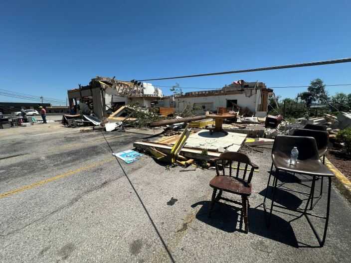
On the heels of a deadly tornado that killed at least 19 people in south central Kentucky Friday night, more potentially severe weather is forecasted to move across the commonwealth Tuesday.
National Weather Service Louisville office meteorologist Samanta Wilson said a low pressure system running along the Interstate 64 corridor will bring a warm front and at least two rounds of rain. The first round, which Wilson forecasted to be the weaker of the two, is already moving through the central portion of the state to the east.
The main threat is wind, but Wilson said isolated tornadoes are possible. The warm air can generate lift and a stronger storm potential. The second, stronger set of storms is anticipated to start around 4 p.m. EST in the Bowling Green area and exit the eastern part of