
 21Alive News
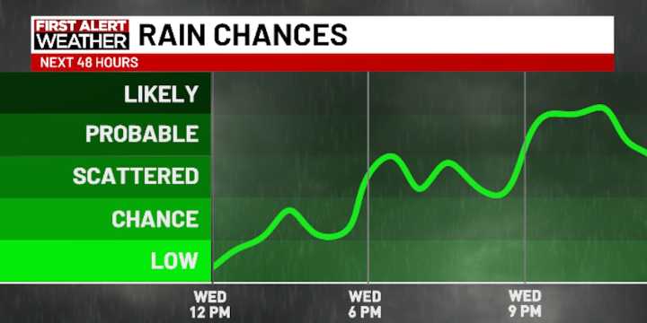
FORT WAYNE, Ind. (WPTA) - A stationary front draped across parts of Illinois and Iowa this evening will live up to its namesake, moving slowly eastward over the next 24-48 hours. What this means for us is a warm and dry, but possibly partly to mostly cloudy first half of the day Wednesday. At the very least, it will provide a good window for any last-minute yardwork!
Showers and some embedded thunderstorms will start to stream north and eastward into the afternoon, though they will likely be more numerous after sunset and into Thursday morning. While the severe weather threat is low, it’s not impossible one or two storms overnight Wednesday into Thursday contain some downpours and gusty wind.
Otherwise, much of the day Thursday now looks fairly dry with highs in the upper 70s before an a

 KOMU 8
 KPLC
KPLC FOX News Politics
 IMDb TV