
 St. Louis Public Radio
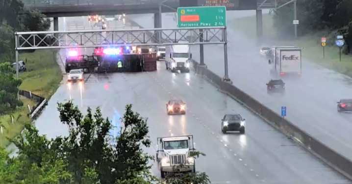
The National Weather Service confirmed that a "confirmed large and extremely dangerous" tornado formed near Raytown, moving east at 45 mph toward Independence.
Residents around the Kansas City metro heard sirens as the storm came in from Johnson County.
The tornado warning has expired for Jackson County and surrounding locations, but a flash flooding threat remains. More rain is forecast to come.
Several semi trucks overturned on highways around Kansas City, according to traffic reports, and some roads remained backed up. Other roads have been closed due to flash flooding.
News Kansas City starts to survey tornado damage while flooding remains a threat Emily Younker
Impacted locations include Independence, Lee’s Summit, Blue Springs, Grain Valley, Sugar Creek, Buckner, Courtney, L

 Crooks and Liars