
 WISH-TV
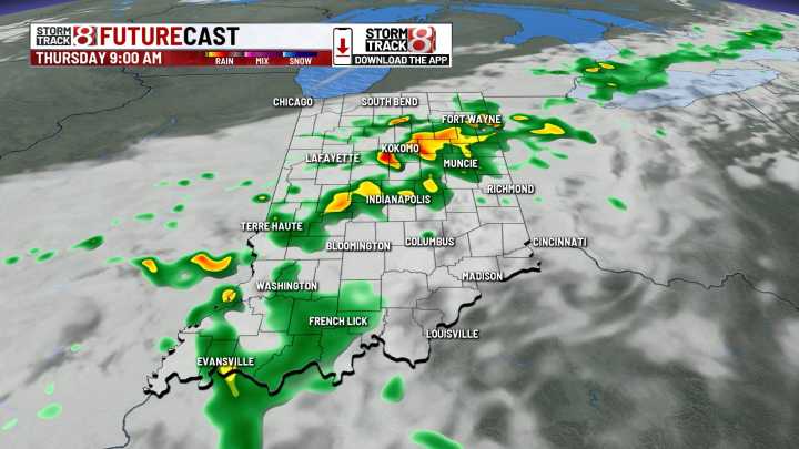
INDIANAPOLIS (WISH) — Rain and storm chances stick with us into the weekend with increasing humidity.
Wednesday night: Activity will remain isolated to scattered northwest of Indy into this evening. Shower/storm coverage gradually turns widespread closer to midnight and beyond. Heavy rain expected at times.
Low severe risk in place as well for wind/hail/islt’d tornado. We’ll keep a close eye on radar the remainder of today.
Another warm night ahead with lows in the upper 60s to low 70s.
Thursday: Expect on and off showers and storms with some heavy downpours. There is a low risk for severe weather with damaging winds being the primary hazard. This risk is for areas along and south of interstate 70.
Highs to be cooler around 80 degrees, but it will be even more humid. Humidity levels a

 KSLA News
 KATC
KATC AlterNet
 NBC News
 Fox 11 Los Angeles Sports