
 News10 NBC
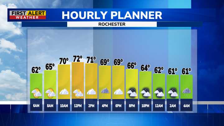
ROCHESTER, N.Y. – As warm southwest flow continues and a cold front approaches, dew point levels this morning were reaching into the 60s, making for much more humid air. This is all ahead of the return of showers later today as that cold front passes, and areas near the Finger Lakes could also see some thunder. Any severe storms are expected to be outside our area, so we remain Green on the Threat Tracker barring any major changes. Chances for these showers and rumbles of thunder will be from the mid-afternoon into the evening. Other than that, expect mostly cloudy skies, temperatures in the upper 70s, and still some haze in the air as thinning smoke slowly exits the region. Air quality this morning is Moderate, but will shift back to Good going into the afternoon.
Warm temperatures and c

 TheWrap
 FOX 13 Tampa Bay Crime
 The Washington Post World
 CNN
CNN