
 The Press-Enterprise
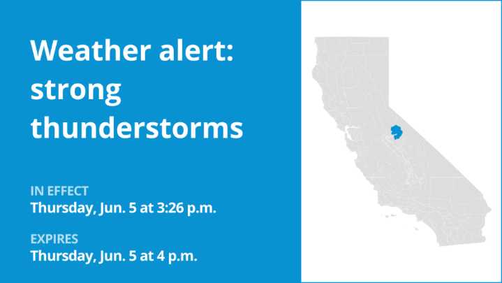
An updated weather alert was issued by the National Weather Service on Thursday at 3:56 p.m. for strong thunderstorms in effect until 4:30 p.m. for Yosemite.
Wind gusts of up to 40 mph and pea-sized hail (0.25 inches) are anticipated.
“At 3:56 p.m., Doppler radar tracked a strong thunderstorm 10 miles west of Tioga Pass, or 16 miles south of Twin Lakes, moving east at 5 mph,” states the NWS Hanford CA . “Gusty winds could knock down tree limbs and blow around unsecured objects. Minor hail damage to vegetation is possible.”
Locations impacted by the alert include Tuolumne High Sierra Camp, Tuolumne Meadows, Glen Aulin High Sierra Camp, May Lake High Sierra Camp, Snow Flat, Tuolumne Meadows Visitor Center, Tenaya Lake and Tuolumne Meadows Campground.
According to the NWS, “If outdoors,