
 KGW News
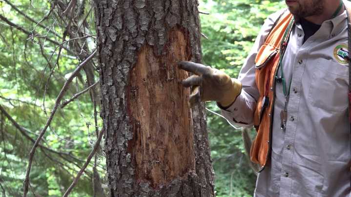
PORTLAND, Ore. — On Friday, the Oregon Department of Forestry launched its annual aerial survey of forests throughout the state, something the agency has done since 1947. Over the next few months, crews will fly in a grid over the trees in an attempt to spot signs of damage from the air.
"We have an observer on either side of the plane and they look out 2 miles, and they're trained to recognize sort of a confluence of factors," explained Sean McKenzie, who leads the project. "So, host species, biogeography, where they are in the state, and what insect species and what tree species might be present, and then visual signatures of death from a particular insect."
While "signatures of death" might be tough to differentiate for the layman even at close proximity, these experts can do it fr

 Raw Story
 Bored Panda
 Insider
 New York Post Business
 CBS News
 Newsweek Top
 Daily Star Weird News
 The List