
 East Bay Times
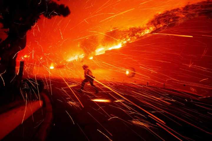
On a new Bay Area wildfire-risk map that gauges the threat of wind-driven embers, Lars Guntvedt’s neighborhood in the hills above Los Gatos sits in the highest-danger zone.
Like many of his of Aldercroft Heights neighbors, and plenty of residents around the Bay Area, the 58-year-old school administrator felt confident he had slashed the danger to himself, his wife and their wooden home by diligently clearing the surrounding vegetation. The ember-risk map, Guntveld said, made him consider “what additional hardening I can do with my house.”
Based on NASA satellite imagery, the map shows where vegetation is most likely to produce dangerous, fire-spreading embers during high winds and low humidity, threatening homes far from main blazes.
Recent firestorm catastrophes, including the deadly