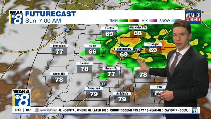
We are in the midst of an active weather pattern across central and south Alabama. One round of storms moved across the northeast half or so of our area Saturday afternoon. A severe thunderstorm watch was in effect for our northeast counties, but that expired at 6PM. Our area was rain-free with a partly cloudy to mostly clear sky at 8PM. It looks like the rest of Saturday evening remains dry.
However, another round of storms likely moves into our area late Saturday night into Sunday morning. A few of these storms could be strong to severe, capable mainly of damaging wind gusts and perhaps large hail. In the wake of Sunday morning activity, additional isolated to scattered showers and storms develop Sunday afternoon. A few of those storms may become strong to severe, capable of damaging wi

 Alabama News Network