
 KPAX
KPAX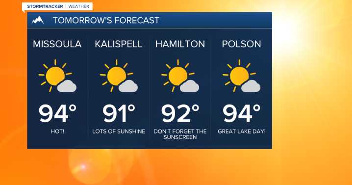
MISSOULA — High pressure that’s been anchored over the Pacific Northwest lately will strengthen as we kick off the work week!
Expect ample sunshine Tuesday with well above average highs in the ups 80s to mid 90s.
On Wednesday, a mainly dry cold front will make its way through the northern Rockies with quite a bit of wind. That combined with very low relative humidity values (& the heat!) will create critical fire conditions. A few Fire Weather Watches have been posted around western Montana is anticipation of that.
Erin Yost
Highs will still top out in the upper 80s to low 90s Wednesday, but tumble down into the upper 70s to low 80s for Thursday and Friday behind the front.
Erin Yost
Mainly dry conditions are expected for the extended forecast with an isolated threat of a shower or t

 FOX News
 Billings Gazette
 KTVH
KTVH Washington Examiner