
 WWSB
WWSB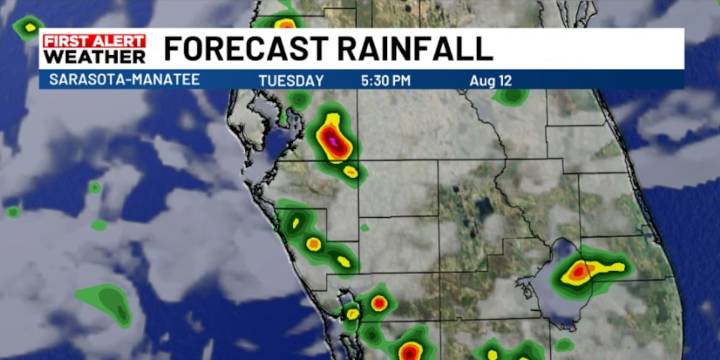
SARASOTA, Fla. ( WWSB ) -Atmospheric moisture levels have dropped compared to yesterday morning, which could mean fewer storms overall—particularly across west-central Florida. Still, the storms that do develop could bring strong, gusty winds thanks to drier air mixing down from above and brisk winds aloft. The good news is that storms should still move fast later today, so the threat of prolonged heavy rainfall remains lower than in previous days and the area is not included in an excessive rainfall outlook.
Looking ahead, a ridge of high pressure will build over the state through the rest of the week and into the weekend. This usually means fewer storms, less cloud cover, and rising temperatures. Winds will shift gradually and become lighter, allowing heat and humidity to build. By th

 FOX 13 Tampa Bay Crime
 Sun Sentinel
 Tribune Chronicle Community
 Sarasota Herald-Tribune
 KETV Politics
 Raw Story
 America News