
 Hollywood Life
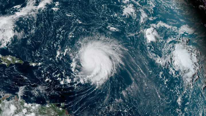
Tropical Storm Erin has become the latest development in the Atlantic Ocean to cause concern. The National Hurricane Center (NHC) has provided status updates about Erin’s strength and path for the coming days. So, what does this mean for the East Coast of the United States? Get updates on the storm below.
Tropical Storm Erin 2025 Path
On Tuesday, August 12, Erin was located around 690 miles west of Africa’s Cabo Verde Islands at around 5 a.m. ET, according to the National Hurricane Center. Erin had maximum sustained wind speeds near 45 miles per hour in addition to higher gusts.
On Thursday, August 14, the NHC said Erin is expected to become a hurricane on Friday, August 15, and it was located about 860 miles east of the Northern Leeward Islands. As of 5 a.m. ET, the system has maximum

 Gainesville Sun
 Sarasota Herald-Tribune
 WTKR
WTKR America News
 Kitsap Sun
 WTAJ-TV
 The Denver Post
 NBC News
 The List
 Newsweek Top
 Raw Story