
 Billings Gazette
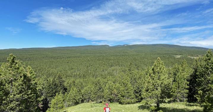
Along the West Boulder River in Park County is an 80-acre Bureau of Land Management parcel that has been identified for possible disposal.
Or has it?
The acreage, surrounded by private land, is the only public parcel along the coveted trout stream where other access issues have been brewing over a fence stretched across the stream.
The land is among 6.08 million acres highlighted in an online map identifying Bureau of Land Management parcels scattered across 17 western states that have been identified for possible disposal.
Montana-based onX developed the map in partnership with the Theodore Roosevelt Conservation Partnership to alert the public and policymakers.
“We created this map with TRCP to bring transparency to the land disposal process, to inform outdoor enthusiasts of nea

 America News
 Newsweek Top
 CBS News World
 Associated Press Top News
 AP Breaking News
 Reuters US Business
 Raw Story
 Mediaite