
 ABC4 News
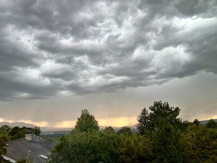
SALT LAKE CITY (ABC4) -- Happy weekend, Utah! We have lingering moist air overhead and the threat of isolated storms holds on for the beginning of the weekend.
The biggest threat for thunderstorms will be east of I-15, but cities along I-15 from Salt Lake to St. George will still see a few storms pop up. Flash flooding will be possible for all the outdoor recreation areas in southern Utah, so if you plan on visiting the parks make sure you stay on higher ground as flash flooding can occur even if it isn't raining overhead. Better yet, reschedule for Sunday as things dry out.
Sunday will feature clear to partly cloudy skies and a slight chance for precipitation, but southerly winds should keep it just north of the Utah-Idaho state line. The Uinta Mountains and other mountainous regions co

 KIMT News 3
 Raw Story
 People Top Story