
 K2 Radio Local
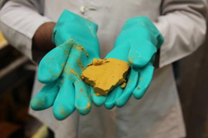
The Wyoming State Geological Survey (WSGS) recently finished a huge initiative to publish an updated Uranium Map of the state that was last updated in 2010.
They've consolidated an enormous amount of data into a single digital platform that houses decades of exploration, mining, and geologic information.
The map allows you to hover over active mines to learn more about the permit, permit type, company and more. See an example below.
Currently, there are five active uranium mining operations in Wyoming. These mines primarily utilize in-situ recovery (ISR) methods. Four of these mines are located in the Powder River Basin, with the fifth in the Great Divide Basin.
Here's a more detailed look:
Smith Ranch-Highland: Operated by Cameco, this mine has been in continuous ISR operation sinc

 Los Angeles Times Environment
 Reuters US Top
 Reuters US Business
 Missoula Current
 The Bay City Times
 Miami's Community Newspapers
 Washington Examiner
  Reuters US Domestic
 AlterNet