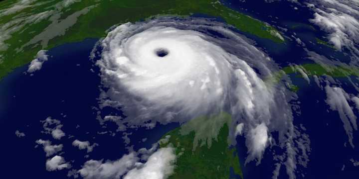
MIAMI – When Hurricane Katrina churned through the southwest Atlantic and eastern Gulf of Mexico in late August 2005, forecasters originally believed the storm would remain largely a Florida threat and not push westward into the central Gulf, but factors not captured by computer models caused the major hurricane to become potentially the "big one" for the Big Easy.
The cyclone’s first forecast cone, issued Aug. 23, showed the storm gathering strength after making landfall along Florida’s east coast.
At the time, forecasters did not believe the cyclone would reach hurricane status before striking north of Miami - but they were wrong.
In subsequent forecasts, the National Hurricane Center increased its intensity outlook and indicated the storm was on a path toward a secondary landfall alo

 FOX Weather

 WBRZ News
 WCNC Charlotte Weather
 FOX 4 News Arlington
 Associated Press Top News
 FOX 10 Phoenix Crime
 The Washington Post
 LB Press-Telegram
 Local News in Louisiana
 Nola Entertainment
 CBS News
 KOLD Tucson
 New York Post
 E Online