
 KGET 17 News
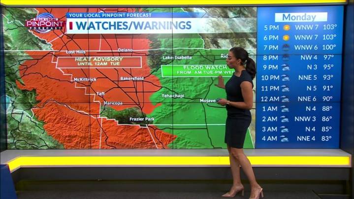
BAKERSFIELD, Calif. (KGET) -- A ridge pattern is intersecting with a disturbance off the Pacific Northwest Coast, and has allowed for the eastward push of monsoonal out of Central California.
With the wind flow going in a more westerly direction, the amount of precipitable water is being cut-off from the Gulf region as some values drop.
While significant moisture remains over the region, expect convective activity to slowly fade as the probability of a thunderstorm occurring Monday remains below 10%.
In addition, the flatness of the ridge pattern will keep temperatures at near normal values.

 People Crime
 CBS Los Angeles
 NBC Bay Area Dixon News
 New York Post
 The Daily Sentinel
 ABC30 Fresno World
 CBS Sacramento Dixon News
 The List