
 WWSB
WWSB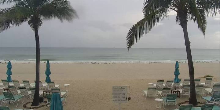
SARASOTA, Fla. (WWSB) - An area of low pressure will keep the clouds and a chance for rain going through Wednesday. This storm system in in the east Gulf and continues to sit and spin bringing up deep tropical moisture and cloudiness across much of the area. The ABC7 First Alert Weather team has designated Tuesday and Wednesday First Alert Weather Days on the low end scale which is green.
This pattern will continue through Wednesday and then it is expected to move to the west away from our area and weaken. Until then expect to see disruptive weather for at least the next 48 hours.
A cold front is expected to move into central Florida on Thursday but we will remain in the moist sector out ahead of the front on Thursday so don’t expect to see much change on Thursday but maybe fewer storms

 Florida Politics
 FOX 13 Tampa Bay Crime
 Orlando Sentinel
 WFLA Hillsborough County
 FOX 35 Orlando
 KY3
KY3 Associated Press US and World News Video
 Reuters US Top