
 TMJ4 News
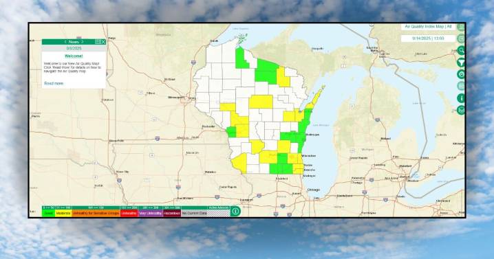
The Wisconsin Department of Natural Resources (DNR) has announced the launch of its new and improved air quality data map. The map is aimed to help the public stay “air aware.”
The data map displays real-time data from the state’s air quality monitoring network and shows a color-coded guide to pollution levels based on the Air Quality Index.
The DNR says updates were made in an effort to create a user-friendly experience when viewing the data map.
Updates made to the data map include a new advisory banner, displaying critical air quality updates. A dedicated ‘news’ text box has been added to the landing page, highlighting important updates, including advisories and other essential information. Enhanced navigation features have also been added, including a set of map icons on the right-h