
 KPAX
KPAX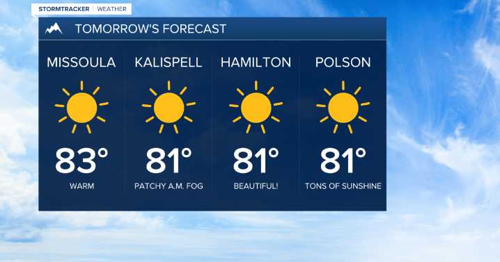
MISSOULA — High pressure continues to control the weather pattern Wednesday with above average highs in the upper 70s to mid 80s with loads of sunshine!
Expect more of the same Thursday and Friday with patchy morning frost in the higher elevation valleys along the Divide and a few pockets of fog. Some folks will be in record high territory the next couple of days!
Erin Yost
A weak disturbance will begin to flatten the ridge on Friday afternoon with a few more clouds and an isolated threat for late day thunderstorms.
Saturday should showcase mainly sunny skies with highs in the upper 70s to low 80s.
Erin Yost
Another slightly stronger disturbance will usher in cooler temps in the low 70s for Sunday with a greater chance for a pop-up shower or thunderstorm and breezy afternoon winds. E

 FOX News
 News 5 Cleveland Politics
 NBC News
 Raw Story
 WFMJ-TV Entertainment
 New York Post Video
 The Daily Beast
 RadarOnline
 AlterNet