
 San Bernardino Sun
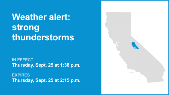
Yosemite, San Joaquin River Canyon and Upper San Joaquin River are included in an updated report for strong thunderstorms by the National Weather Service on Thursday at 1:57 p.m. The alert is in effect until 2:30 p.m.
The storms are packing pea-sized hail (0.25 inches).
“At 1:57 p.m., Doppler radar tracked a strong thunderstorm 15 miles southeast of Yosemite Valley, or 17 miles northeast of Yosemite South Entrance, moving southwest at 5 mph,” according to the NWS Hanford CA . “Minor hail damage to vegetation is possible.”
The alert is for Buck Camp Ranger Station.
According to the NWS, “If outdoors, consider seeking shelter inside a building. Torrential rainfall is also occurring with this storm and may lead to localized flooding. Do not drive your vehicle through flooded roadways. F

 Breitbart News
 Associated Press US and World News Video
 The Daily Beast
 FOX News Videos
 RadarOnline