
 The Mercury News
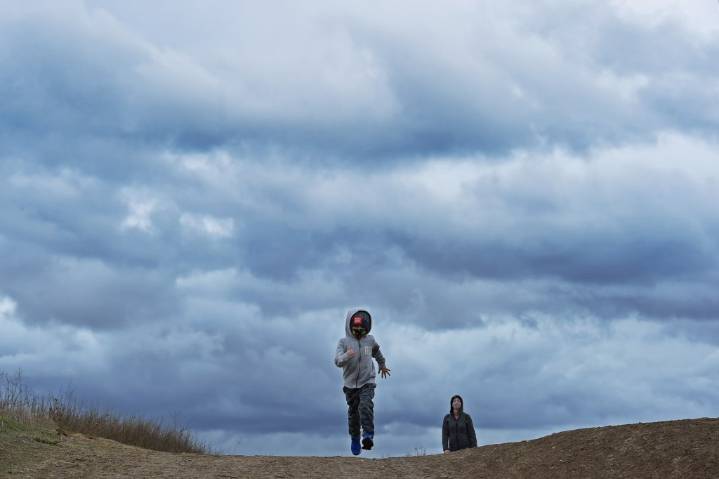
The second of two cold fronts that is set to bring slow, steady rain similar to the first one remained on schedule to reach the Bay Area on Wednesday as it descended from the Gulf of Alaska.
As it hits land, its path might be all over the place.
Related Articles
“The storm front itself has slowed down, so that we have individual showers moving along with it,” National Weather Service meteorologist Brayden Murdock said. “The one earlier in the week had more of a shape and a path to it. This one is not as structured, so the rain we get is going to be a lot more scattered.”
That said, the rain that falls is expected to be slow and steady, perhaps even steadier than it was when the first system moved through the region earlier this week. That system dumped the heaviest rain on Mount Tamalp

 ClickOrlando
 Florida Today
 KPTV Fox 12 Oregon
 The Register-Guard
 FOX Weather
 Gainesville Sun
 K2 Radio Local
 FOX 32 Chicago
 The Daily Beast