
 News4JAX
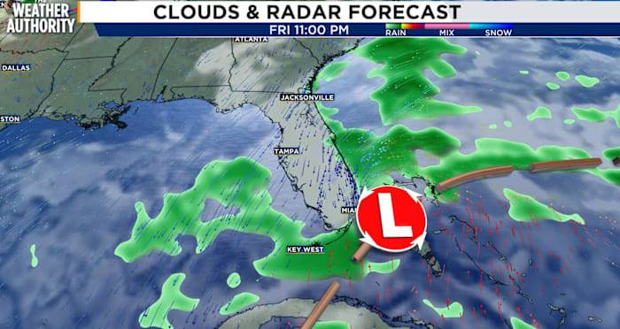
After a relatively dry day on Wednesday, the weather pattern will turn unsettled once again as we head through Thursday into the upcoming weekend.
A developing area of low pressure offshore will bring more wind, a high risk for rip currents and coastal flooding.
This system is a Nor’easter (which gets its name from the northeasterly wind) and will impact not only us here in Florida, but all along the east coast.
Flooding threat
With river levels already elevated over the past few weeks, additional flooding is likely.
As the northeasterly wind strengthens on Thursday, this will push ocean water into the coast and into the St Johns River.
As a result, moderate tidal flooding is expected along the coast and St. Johns River basin. Additional coastal flood watches and warnings may be requ

 America News
 Chicago Tribune
 KCRA News
 Arizona's Family
 FOX 10 Phoenix Latest
 Dakota News Now
 WGNO
WGNO AlterNet
 The Conversation
 Newsweek Top