
 ClickOrlando
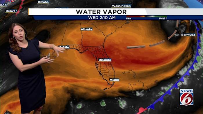
ORLANDO, Fla. – While most of Central Florida will enjoy a sunny, pleasant Wednesday, a few isolated showers and dangerous rip currents could catch you off guard.
High pressure is building over the region, keeping our skies mostly clear and temperatures near normal in the low to mid-80s Wednesday afternoon before cooling into the 60s inland and low 70s near the coast overnight.
A tight pressure gradient is bringing breezy northeast winds, especially along the beaches. Those winds could stir up a few quick-moving coastal showers, mainly offshore but possibly brushing the shoreline in the evening. Rain chances stand at 10–20%.
THIS WEEK
High pressure remains in charge through the end of the week, keeping things mostly dry and seasonable. A weak front may try to sneak in late Thursday

 AlterNet
 FOX 13 Tampa Bay Crime
 Hattiesburg American
 First Coast Crime
 FOX 35 Orlando
 WCJB-TV20
 WSVN 7 News
 She Knows