
 Click2Houston
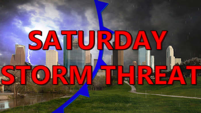
For the first time in weeks we are tracking scattered showers across SE Texas! These showers shouldn’t be causing any issues, mainly just sprinkles! Check out our current radar below.
You can track radar here:
Saturday’s Storm Threat:
We have a storm threat across Houston this weekend, with a severe weather threat NE of Houston. The primary concern is the threat for damaging winds. We’re watching a front move through Houston this afternoon into evening, potentially bringing intense storms with damaging winds reaching 20+ mph.
A notable risk of severe thunderstorms is developing today in northern areas- Spring, The Woodlands, Conroe, Huntsville, Livingston, and Liberty:
Despite possible rain, the region remains extremely dry, with burn bans in place across most counties. Gusty winds up

 Breitbart News
 FOX 26 Texas
 Reform Austin
 KENS 5
 KFVS12
 Fox 26 Liberty County
 WFAA
WFAA NPR
NPR El Paso Times
 NBC Southern California
 Detroit Free Press