
 CBS DFW
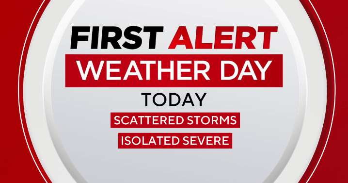
A cold front moves through Saturday, bringing additional scattered storm activity. Then a dry, cooler period follows.
Friday evening was a wet one for most all of North Texas as severe thunderstorms and heavy rains moved through the region.
This was the worst of the activity for the weekend, but as a trailing cold front moves through this afternoon, additional scattered showers and thunderstorms will be possible during the afternoon and evening.
This shower activity will carry a much lower severe threat, however, we do have a 1-out-of-5 risk for strong to severe thunderstorms where these cells do develop.
Primary risks during this timeframe will be for hail and damaging winds.
This activity clears up very early Sunday morning, and then dry air settles back in for a stretch.
Temperatu

 America News
 Local News in New York
 KRIS 6 News Weather
 WEVV 44News
 FOX Weather
 FOX 26 Houston
 WDSU New Orleans
 New York Post
 Local News in D.C.
 Raw Story