
 The Indian Express
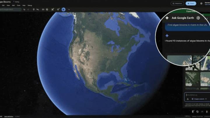
Google has introduced new foundational AI models that can be used to provide real-time geospatial data, helping organisations respond to disasters faster and more efficiently.
The three new Earth AI models (Imagery, Population, and Environment models) let users instantly find objects and discover patterns from satellite imagery. These models are being used to upgrade Google Earth, the tech giant’s 3D mapping platform, with newer Gemini AI capabilities such as Geospatial Reasoning.
Geospatial Reasoning is a framework that draws on different Earth AI models to answer users’ complex questions related to weather forecasts, population maps, satellite imagery, etc. “For example, Geospatial Reasoning empowers the nonprofit GiveDirectly to respond to disasters by combining flood and popu

 New York Post
 Raw Story
 AlterNet
 CNN
CNN The Babylon Bee
 HealthDay
 Essentiallysports
 The List