
 FOX 35 Orlando
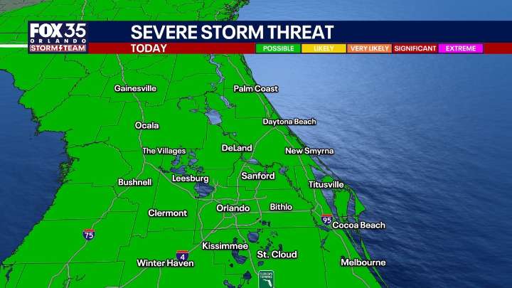
The Brief
ORLANDO, Fla. - Today is a transitional day for us as our next storm system moves in. The cold front associated with it is going to bring us the coldest air of the season thus far, along with the chances for showers and storms. Rain chances are around 40% with the timeline mainly during the afternoon and evening.
What will the weather look like tonight?
What to Expect:
Out ahead of the front, we'll have some "wind energy" and enough instability for an isolated strong to severe storm. The main concerns if a storm could develop would be small hail and gusty winds. A Marginal Risk is draped across the viewing area for this threat. Image 1 of 4 ▼
Highs with a bit more cloud cover around will be a touch cooler, topping out in the middle 80s. Overnight, we'll see the potenti

 FOX 4 News Arlington
 CBS News Crime
 Mediaite
 Orlando Sentinel
 FOX 13 Tampa Bay Crime
 WCTV
WCTV Newsweek Top
 NBC News