
 WREX
WREX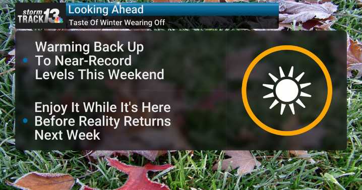
This taste of winter will continue to wear off as temperatures keep on climbing into the weekend.
A cold front sweeping through tonight will actually be more like a "dry front" as temperatures won't be affected much aside from that drier air will erode the clouds, leading to more warm sunshine for the rest of the week!
This sunshine helps us warm back up into the low 50s Wednesday afternoon as we get back above average. Winds will also be a bit gusty again around the middle of the day, peaking in the 30-35 mph range.
Winds calm down Thursday and Friday, but the warmup sure isn't. We'll be back in the 60s by Friday on our way to the upper 60s on Saturday. At this point, Saturday's record high of 69° may not be broken, but it is absolutely in jeopardy and a sign that it will be just about

 WRCB-TV
 KWQC
KWQC WIS News 10 South Carolina
 CBS Colorado
 KSNB Local4 Central Nebraska
 WUSA 9 News
 WCCB Charlotte
 KSLA News
 NBC4 Washington
 Associated Press US News
 FOX 32 Chicago
 Cinema Blend