
 The Mercury News
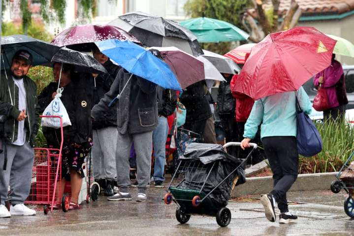
The arrival of what the National Weather Service called a “moderate scale” atmospheric river storm — the second such storm already in November — continued to make its approach toward the Bay Area on Wednesday, with the likely touch down sometime in the evening and a 24-hour stay anticipated.
The National Weather Service said the storm center continued to develop early Wednesday northwest of San Francisco, and it will bring with it a strong cold front that will mix with the high pressure that’s created the dry conditions of the past few days. Combined, that will produce mighty strong winds, rain, and the possibility of thunder and lightning for some areas of the region, while other covered in a rain shadow may stay relatively untouched.
Related Articles
“It’s deepening quickly,” NWS mete

 Claycord
 KRON4 News Bay Area
 Arizona's Family
 NBC4 Washington
 WBRC
WBRC FOX Weather
 KTVU San Francisco
 FOX 4 News Arlington
 KSNB Local4 Central Nebraska
 21Alive News
 Sarasota Herald-Tribune Sports