
 WMAR-2 News
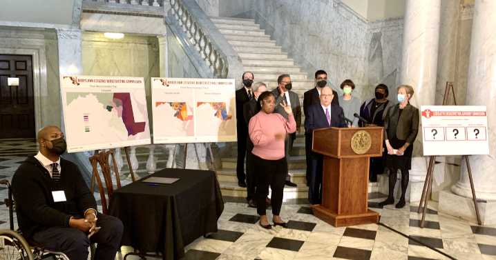
BALTIMORE — As the Governor's Redistricting Advisory Commission prepares to hear testimony from Marylanders on whether they want the Congressional maps to be redistricted, we're taking an in focus look at how we got to our current maps.
How it started
Every ten years, following the Census mandated by the U.S. Constitution, the states have to redraw their Congressional districts to make sure each district in a state has as close to an equal number of people as possible.
Going into the 2020 Census, the Maryland congressional map looked like this:
Maryland Department of Planning Data/WMAR-2 News
The 2020 Census found that the population of the state of Maryland increased by more than 400,000 people since the 2010 Census, according to the Maryland Department of Planning.
While most cou

 AlterNet
 Raw Story
 Associated Press US News
 Crooks and Liars
 IMDb TV