
 Sunday Express
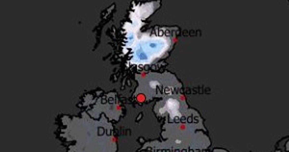
The latest weather maps reveal the precise date forecasters predict the next significant Arctic blas t, with up to seven inches of snow expected. The freezing low pressure is set to sweep across the UK from the northwest and gradually move southwards.
Despite a recent increase in temperatures following last week's cold snap, which saw snowfall as far south as London, the mercury is set to plummet again in early December.
This will usher in the next bout of snowfall, which Metdesk forecasters suggest is likely on Saturday 6th December and could linger for several days. Weather maps released by the team depict white hues reaching as far south as the Cotswolds on the morning of 6th December, indicating widespread snowfall.
The thickest white patches on the WX Chart are seen across the S

 Birminghalm Mail
 Mirror
 The Daily Record
 The Conversation
 Newsweek Top
 Raw Story
 5 On Your Side Sports
 Cleveland Jewish News
 Political Wire
 The Daily Beast
 Real Simple Home