
 WITN-TV
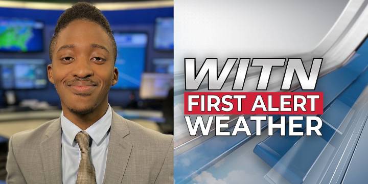
As colder, drier air settles in temperatures will start into the 20s in several spots. That sets the stage for patchy black ice early Tuesday morning, especially on bridges, overpasses, and any untreated wet pavement.
We will bring sunshine back to the region, but don’t let that fool you: highs only climb into the low to mid-40s, and a brisk northerly breeze keeps the day feeling colder. A warming trend returns Wednesday with highs pushing the 50s and eventually near 60 as southwesterly winds develop.
Our next cold front arrives late week, but it looks very moisture-starved. We’ve lowered rain chances to just 10% — most communities stay dry. Behind that front, a much colder air mass drops weekend highs back into the 40s, with lows falling into the 20s — and upper teens inland are possibl

 21Alive News
 KPLC
KPLC CBS19 News Crime
 The Oregonian Public Safety
 MyNorthwest
 WCCB Charlotte
 WYMT
WYMT Siskiyou Daily News
 KWWL
KWWL KKTV 11 News
 New York Post
 AlterNet