
 Deseret News
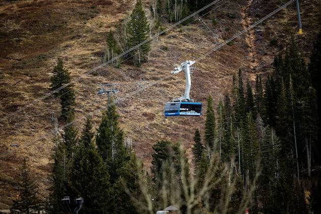
Utah’s 2026 water year is only in its third month, but the first two have already provided “a bit of whiplash” between record-breaking precipitation and record-breaking warmth, federal snowpack experts say.
It’s why they say Utah’s snowpack has gotten off to a “slow start,” ending up just 46% of normal by the end of November.
“Things started very strong. ... Then our weather turned hot and dry,” wrote Jordan Clayton, a hydrologist for the Natural Resources Conservation Service and supervisor of the Utah Snow Survey, in its first water report update of the new water year.
Last month was Utah’s warmest November since at least 1895, according to federal climate data released this week. The statewide average of 44.4 degrees Fahrenheit shattered the previous record set in 2017 by nearly 1½ d

 Siskiyou Daily News
 KXLH
KXLH Eyewitness News 3
 KWWL
KWWL AccuWeather Severe Weather
 TMJ4 News
 The Seattle Times
 KSNB Local4 Central Nebraska
 WSAZ NewsChannel 3
 CNN Politics