
 WFMJ-TV
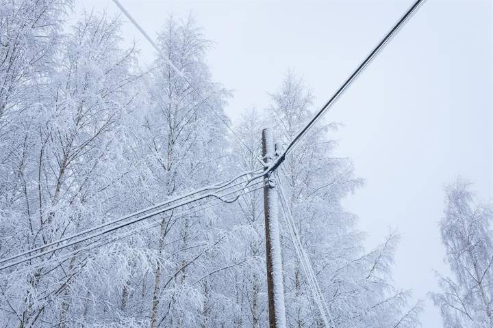
After a quiet and calm Friday, rounds of accumulating snow and harsh cold will make for an active weekend forecast.
Flurries and light snow showers will be scattered across the area early Saturday morning, with temperatures rising overnight out of the low 20s. A quick coating of snow will be possible, but snow will taper quickly by mid-morning, and the day turns quiet until later in the afternoon.
Steady snow will begin around sunset and stay steady through just after midnight. Snow will add up to 3 to 5 inches across the area, with slick travel likely into early Sunday morning. Lake effect snow showers will take over quickly after the clipper system moves out, and lake effect snow showers will stay widely scattered after daybreak Sunday.
Sunday morning's temperatures will turn harsh wi

 Siskiyou Daily News
 WMAR-2 News
 KXLH
KXLH The Seattle Times
 WNNY-TV
 Eyewitness News 3
 KWWL
KWWL The Weather Channel
 AccuWeather Severe Weather
 RadarOnline