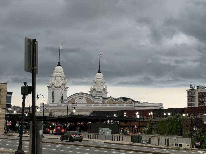
Skies cleared following a wet night and morning in Massachusetts, but residents could have a reprieve before the next round of wet weather.
The cold front that brought the change in conditions stalled on Wednesday night and Thursday and is expected to push out towards the ocean, according to the National Weather Service. However, before then, the greatest risk is ahead of the front over the South Coast and southern Rhode Island, as dry air quickly moves into Western Massachusetts behind the front.
This could bring some pop-up rain that should be brief going into the late afternoon and evening, forecasters said. Any chances of flooding should be isolated rather than widespread.
Friday should see better conditions with temperatures in the low to mid-80s with lower humidity levels, forecas

 MassLive

 KWQC
KWQC Associated Press US and World News Video
 CNN
CNN