By Joe Lombardi From Daily Voice
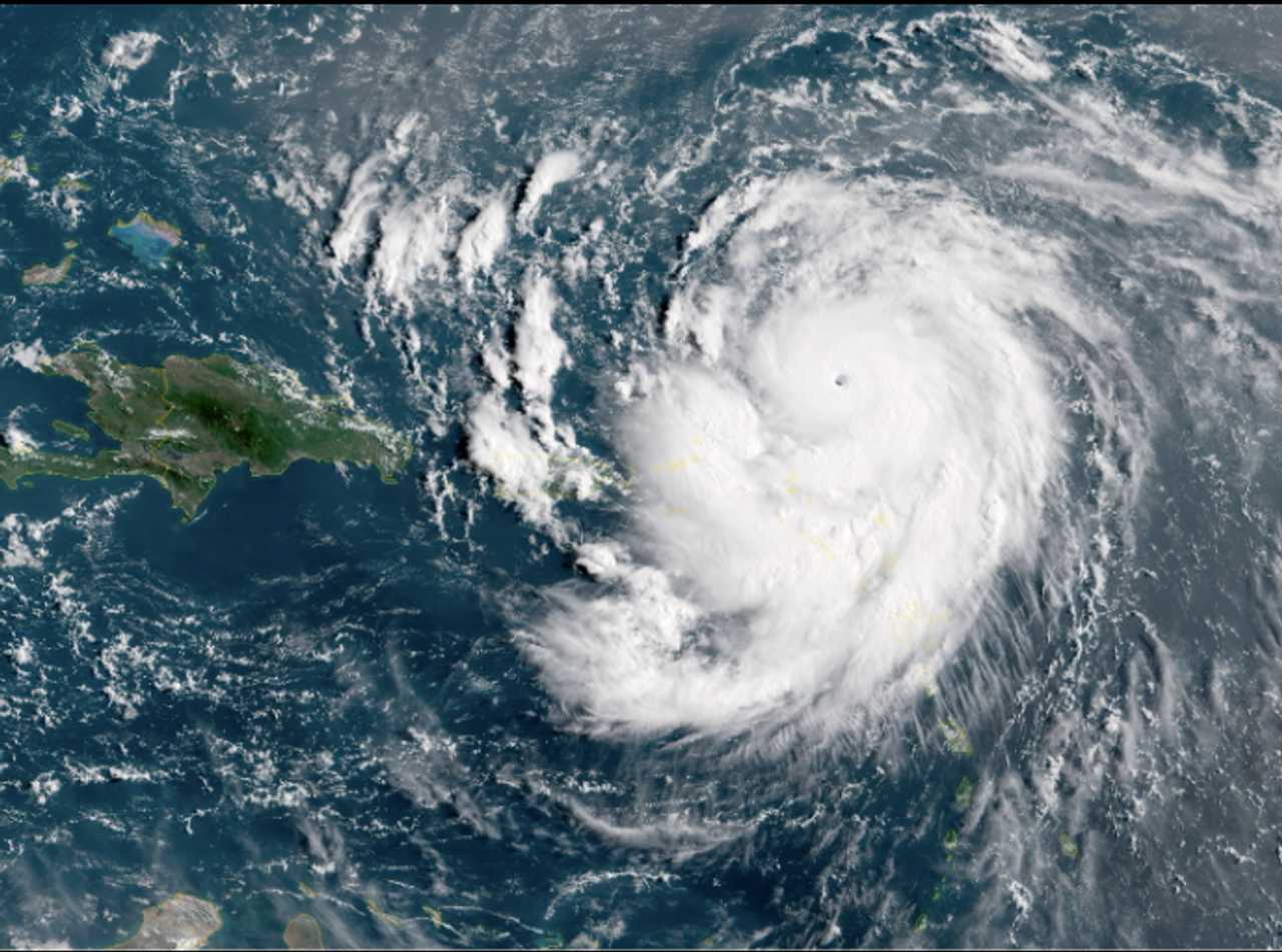
Hurricane Erin has transformed from a formidable storm into a record-breaking powerhouse, roaring across the Atlantic with sustained winds of 160 mph and earning a rare Category 5 status.
The National Hurricane Center confirmed Erin’s explosive intensification just before midday Saturday, Aug. 16.
Its surge to its status as the most potent possible storm on the Saffir-Simpson Hurricane Wind Scale comes just 24 hours after it became the first hurricane of the 2025 Atlantic season.
The storm’s rapid strengthening was fueled by unusually warm ocean waters and nearly ideal atmospheric conditions, according to meteorologists.
While Erin’s most violent winds are expected to remain north of Puerto Rico and the northern Leeward Islands, the storm’s outer bands are already lashing the region with heavy rain and tropical storm-force gusts.
Flash flooding, landslides, and urban flooding are possible through Sunday, especially in Puerto Rico and the Virgin Islands.
Tropical-storm force winds could also reach the Turks and Caicos Islands and the Southeast Bahamas.
Forecasters say Erin will continue tracking west before curving north and then northeast, likely steering clear of the US mainland.
However, the storm’s immense size and power mean its impacts will be felt far beyond its center.
Dangerous surf, life-threatening rip currents, and coastal flooding are expected along the entire US East Coast, from Florida to New England, as well as the Bahamas and Atlantic Canada throughout the coming week, according to AccuWeather.
“People along the East Coast from the Carolinas to New England and Atlantic Canada, as well as Bermuda, should monitor forecast updates closely into next week,” said AccuWeather Lead Hurricane Expert Alex DaSilva.
Residents and vacationers are urged to stay alert and monitor updates, as even a distant hurricane can create perilous conditions along the shore.
Check back to Daily Voice for updates.

 Daily Voice


 ABC News
 New York Post
 Gothamist
 News 8 WROC Crime
 The Babylon Bee
 CNN
CNN CNBC
CNBC AlterNet
 America News