
 The Oregonian Public Safety
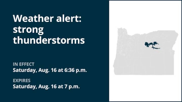
A report from the National Weather Service was issued on Saturday at 6:36 p.m. for strong thunderstorms until 7 p.m. for John Day Basin.
The storms are foreseen to bring marble-sized hail (0.5 inches).
"At 6:35 p.m., Doppler radar tracked a strong thunderstorm 9 miles west of Service Creek, or 13 miles south of Fossil, moving northeast at 5 mph," states the weather service. "Minor hail damage to vegetation is possible."
The weather service adds, "If outdoors, consider seeking shelter inside a building. Torrential rainfall is also occurring with this storm and may lead to localized flooding. Do not drive your vehicle through flooded roadways. This storm may intensify, so be certain to monitor local radio stations and available television stations for additional information and possible w

 The Advocate
 KPLC
KPLC KOMU 8
 Daily Herald
 WKOW 27
 WDSU New Orleans
 KCRG Iowa
 FOX 10 Phoenix Latest
 Newsweek Top