
 SIAdvance
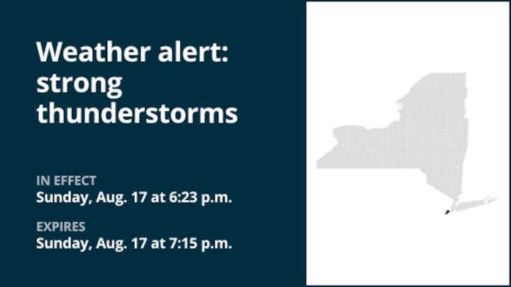
The National Weather Service issued a weather alert at 6:23 p.m. on Sunday for strong thunderstorms until 7:15 p.m. for Staten Island.
The storms could bring pea-sized hail (0.25 inches) and wind gusts of up to 50 mph.
"At 6:23 p.m., Doppler radar tracked strong thunderstorms along a line extending from near Port Richmond to near Carteret to Plainfield. Movement was southeast at 15 mph," explains the weather service. "Gusty winds could knock down tree limbs and blow around unsecured objects. Minor hail damage to outdoor objects is possible."
Locations impacted by the alert include Elizabeth, Bayonne, Plainfield, Linden, Summit, Todt Hill, Huguenot, The Verrazano Narrows Bridge, Port Richmond, Tottenville, Clark, Union, Tompkinsville, Oakwood and Annadale.
The weather service states, "I

 New York Post
 stupidDOPE
 WSVN 7 News
 Daily Voice
 14 News Sports
 Raw Story