
 ABC11 WTVD
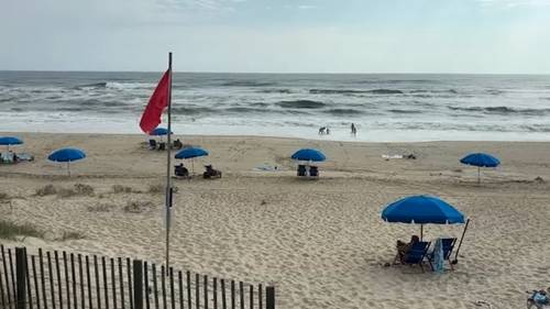
NAGS HEAD, N.C. (WTVD) -- Hurricane Erin, as it moves closer to the North Carolina coast on Tuesday, threatens to whip up wild waves and tropical-force winds.
The monster storm, now a Category 2 with sustained winds of 110 mph, is expected to stay offshore but will make its closest approach to the coast around Wednesday or Thursday. As of now, impacts are limited in the Triangle.
Evacuations were ordered on Monday and Tuesday along the Outer Banks as authorities warned that the storm could churn up dangerous rip currents and swamp roads with waves up to 15 feet. A Storm Surge Warning and Tropical Storm Warning are in effect for the Outer Banks and parts of the NC coast.
NC coast braces for Erin
Forecasts have signaled a possible impact on the Outer Banks as early as Tuesday. The Stat

 ABC News
 AlterNet
 The Monroe News
 FOX 32 Chicago Health