
 PennLive Pa. Politics
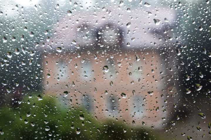
A potent cold front will sweep across central Pennsylvania today, bringing widespread showers and thunderstorms, followed by a significant pattern shift to cooler and drier conditions.
Residents should prepare for potential severe weather this afternoon and evening, with a gradual transition to more autumn-like weather in the coming days.
440 PM Saturday August 23rd, 2025: A slow moving cold front will result in multiple bands of showers and storms on Sunday. Most of the region is very dry and could use the rain, but there is a marginal risk of excessive rain, mainly across portions of the Susquehanna Valley. pic.twitter.com/PjsERHeXr5 — NWS State College (@NWSStateCollege) August 23, 2025
The National Weather Service forecasts scattered thunderstorms developing this afternoon, with

 The Washington Post
 Essentiallysports Football
 ABC News Weather
 New York Post
 Associated Press US News
 WITN-TV
 WKOW 27
 KSNB Local4 Central Nebraska
 KOMU 8
 FOX News Videos