
 The Colorado Sun
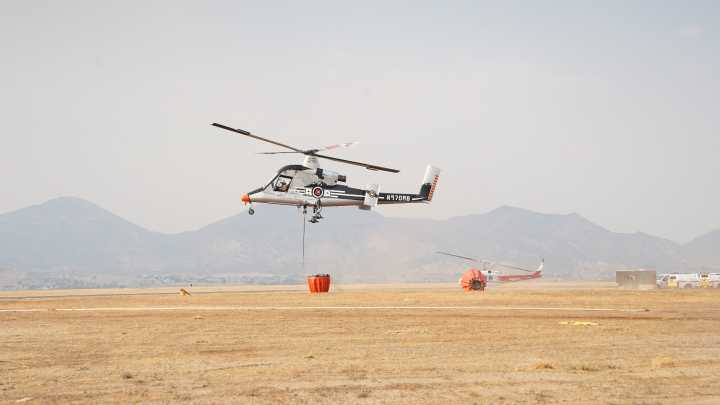
A more accurate map of the burned area from the Lee fire showed a slight decrease in scorched acres Wednesday, putting the wildfire back as the fifth-largest in state history.
Fire managers say the Lee fire in northwestern Colorado has burned 137,758 acres, only 3 acres short of surpassing the Hayman fire’s footprint in 2002.
To get a sense of how big a wildfire is, aviation crews use thermal imaging technology that can pick up heat signatures to provide near real-time, high-resolution data on a fire’s size.
“The earlier increase was due to limitations in the previous data, which temporarily raised the estimate,” fire managers said in a Wednesday morning update. “With updated mapping complete, the acreage now accurately reflects the true fire size.”
The new fire’s update dropped the fi

 Mohave Valley Daily News
 America News
 AlterNet
 The Babylon Bee