
 CBS Minnesota News
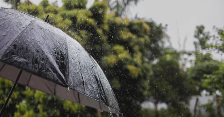
A strong cold front moves into the Twin Cities Tuesday, bringing scattered storms later in the day and fall-like days behind it.
A line of storms moving through northern Minnesota Tuesday morning will move to the southeast, possibly hitting the metro around mid-morning if it holds together. After that clears out, storms could redevelop as we head into the evening. The severe weather risk is low, though there could be a few stronger storms. WCCO
Expect a high around 77. Wednesday will be much cooler and breezy, with highs in the 50s and 60s. More scattered showers are possible.
Thursday will bring gusty winds and more showers. It'll be a true preview of fall.
Over the weekend, we'll have chilly mornings and highs again in the 50s and 60s. It'll be mostly dry, but windy.
A warmin

 CBS News
 Las Vegas Review-Journal
 NECN Providence
 KPTV Fox 12 Oregon
 Reuters US Domestic
 Just Jared
 Fox 11 Los Angeles Sports