
 WAKA Action 8 News
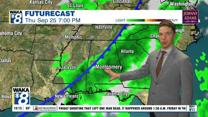
Sunday was the last day of summer 2025 for the northern hemisphere. It was a September sizzler for central and south Alabama, with high temperatures in the mid 90s in most locations. Some small isolated showers and storms formed during the afternoon, mainly west of Interstate 65. In fact, a handful of showers and storms were still ongoing at 10PM in Autauga and Chilton counties.
The rest of these likely fade away by midnight. The sky becomes mostly clear overnight with lows in the mid to upper 60s. Fall begins Monday, but temperatures remain rather warm, with highs in the low 90s. The sky remains partly to mostly sunny, with only a stray afternoon shower or storm possible. Rain chances remain minimal Tuesday and Wednesday, with a partly to mostly sunny sky and high temperatures in the low

 KSLA News
 The Mercury News
 Eyewitness News 3
 KCCI 8
 FOX 32 Chicago
 News on 6
 Fox 26 Liberty County
 KRIS 6 News Weather
 FOX 61 Weather
 ABC News Weather
 AlterNet