
 WYMT
WYMT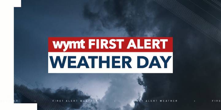
FIRST ALERT WEATHER DAYS
Monday, 9/22
Tuesday, 9/23
Wednesday, 9/24
Thursday, 9/25
TO VIEW THE LATEST ALERTS, PLEASE CLICK HERE.
We are giving you the FIRST ALERT to shower and storm chances throughout the week.
After seeing a shower and storms push through Eastern Kentucky, we will keep the trend going as we head into the next few days.
Heavy wind will be the main threat as we head into the evening and overnight hours.
With the ground being dry from lack of rain the past few days, flash flooding is certainly not out of the question.
Rain and storm chances continue Tuesday with highs in the upper 70s and low 80s.
As we go into the remainder of the week, we will see a cold front swing through, which will drop the temperatures for Thursday, and going into Friday and even Saturday.

 KCCI 8
 FOX 32 Chicago
 FOX 61 Weather
 AlterNet
 FOX 10 Phoenix Crime
 Associated Press US News
 Fox 11 Los Angeles Entertainment
 Raw Story