
 Fast Company Technology
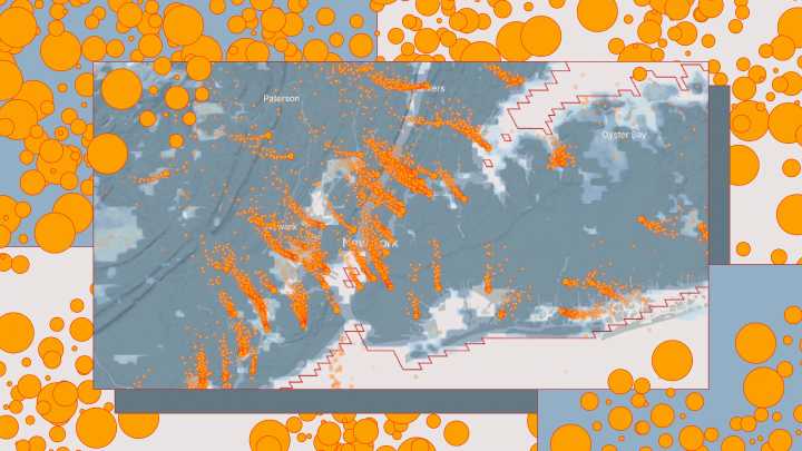
If you search for your city on a new map and zoom in, you can see pollution drifting from factories, power plants, and ports into your neighborhood. The map—a first-of-its-kind air quality tool from Climate TRACE, a nonprofit coalition cofounded by former Vice President Al Gore—shows how pollution moves through cities.
The new interactive tool, launching September 24, is powered by a sophisticated model that tracks local air pollution and weather data and feeds the map. It shows PM 2.5 pollution (responsible for nearly 9 million deaths each year globally) in more than 2,500 cities.
Orange dots indicate sources of pollution, with a stream of smaller dots showing how it moves over the city, shifting course with the wind. Right now, the map presents snapshots of average and bad air days in

 NBC News
 The Washington Times
 Orlando Sentinel Politics
 Newsweek Video
 The Conversation
 WVTM 13 Politics
 TMZ
TMZ NBC News NFL
 Washington Examiner
  AP Breaking News