
 KIMT News 3
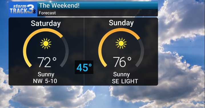
(KIMT) -- Another dry, summer-like day is in store for our Friday with high temperatures slated for the upper 70s to low 80s. A dry cold front stalled along the MN/IA border early Friday morning and will transition into a warm front by Friday afternoon. This will re-introduce south winds to SE Minnesota and North Iowa, allowing temperatures to reach those unseasonably high levels.
A secondary dry cold front will roll through the region as a low pressure system passes to our north Saturday. Temperatures will dip from the low to mid 70s around noon to the low to mid 60s by sunset.
Temperatures will dip to the mid 40s for many Sunday morning. South winds return quickly, keeping temperatures in the unseasonably high category.
As a dome of high pressure truly begins to dominate the Upper Mid

 America News
 WYFF Greenvile
 FOX 13 Tampa Bay Crime
 Sarasota Herald-Tribune
 Associated Press US and World News Video
 Eyewitness News 3
 The Fayetteville Observer
 Ocala Star-Banner
 WWSB
WWSB AlterNet