
 ABC News AU
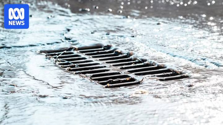
New maps showing potential flooding in Melbourne's inner-suburbs have sparked outrage from residents and local council, who say the government has provided no solution to the issue.
Updated flood mapping released by Melbourne Water on Friday shows areas that would be inundated during a one-in-a-hundred year flood.
Maps for two local government areas — Yarra and Darebin — have been released, showing heavy potential flooding in suburbs such as Richmond, Fitzroy and Northcote.
The government said the updated mapping is based on a "new risk-based flood hazard rating system".
Melbourne Water executive general manager of service futures Chris Brace said the vast majority of properties were not in high-risk flooding zones.
"The good news in the release is that 80 per cent of the new informat

 Raw Story
 The List
 AlterNet