
 PennLive Pa. Politics
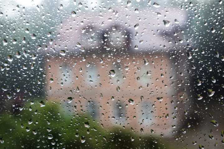
A cold front will bring scattered showers and a significant temperature drop to central Pennsylvania over the next 24 to 48 hours.
Residents can expect wet conditions Tuesday night into early Wednesday, followed by a sharp cool-down that could bring widespread frost by Thursday morning.
Scattered showers will develop Tuesday afternoon and evening, primarily in the western mountain regions, with a slight chance of thunderstorms.
Expected rainfall totals for the next 3 days (covering the upcoming rain): pic.twitter.com/Hig9KBvMD0 — NWS State College (@NWSStateCollege) October 6, 2025
The front is expected to move across the region overnight, with rainfall amounts generally less than one inch. Western areas like Bedford, Johnstown, and State College will see the most precipitation, whi

 GV Wire
 Eyewitness News 3
 WWSB
WWSB Battle Creek Enquirer
 KY3
KY3 KOMU 8
 Fox 26 Liberty County
 WRCB-TV
 NewsTalk 1280
 NBC Chicago
 America News