
 The Advocate
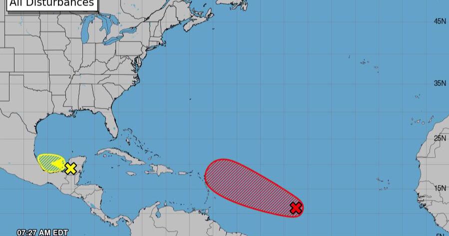
An area of low pressure in the central tropical Atlantic Ocean is expected to form as a tropical depression within the next day, becoming Tropical Storm Jerry not long after, forecasters said Tuesday morning.
As of 7 a.m. Tuesday, the disturbance was a little more than 1,000 miles east of the Windward Islands and had continued to strengthen overnight, according to the National Hurricane Center in Miami.
The system is expected to quickly move west-northwest across the central Atlantic, nearing the northern Leeward Islands by Thursday or Friday. Interests there should monitors the system's development, forecasters said.
The system is not an immediate threat to Louisiana or the Gulf Coast.
State Climatologist Jay Grymes said forecasting models are uncertain about the disturbance's futu

 WBAL NewsRadio
 Local News in California
 KOLD Tucson
 NBC News
 WIS News 10
 The Weather Channel
 Florida Today
 AccuWeather Severe Weather
 Orlando Sentinel
 Martinsburg Journal